Illuminating coastal seas: A new paradigm for ocean observing
Written By
Share
By Christopher Cusack (EDF) and Cooper Van Vranken (Ocean Data Network)
In the early hours of October 25, 2023, Hurricane Otis made landfall near Acapulco, Mexico, with peak winds of 165 mph wreaking havoc on communities in its path. Normally, people would have had a chance to prepare but just the day before, the consensus of models forecasted that Otis would remain a tropical storm. Within hours of these predictions, Otis exploded into a Category 5 storm, the most intense classification. When the skies eventually cleared, the damage stood at a staggering $16 billion, and at least 53 people had lost their lives.
The storm left many with questions. Why did Otis take such a toll on human life? Otis made landfall in a densely populated area, and those communities had mere hours to prepare. Why were the forecast models so wrong? It’s difficult to pinpoint the exact set of reasons, but one thing is for sure: models are only as good as the data they are given.
In this case, the forecasters were working with limited data to feed into their models as Otis approached the Mexican coast. Ocean temperatures—not just at the surface but down to 100 meters depth—are crucial data for understanding how much energy is available to fuel a hurricane. But in October, in the coastal seas off Acapulco, the forecast models were lacking key data points, with devastating consequences.
The Current Paradigm
Data gaps like these are the norm around almost every coastline in the world. Much of our current ocean observation data come from platforms such as Argo floats, which drift between the ocean’s surface and mid-level depths, and remote-sensing satellites. However, these techniques have limitations: Argo floats only operate in deeper seas, and satellites only sense what is happening at the surface of the ocean. Alternatives that can collect ocean data closer to shore are costly and difficult to scale, leaving large “data deserts” in the world’s coastal seas.
These nearshore data deserts are having consequential implications not just for how well we protect human lives when storms approach, but also for efforts to conserve marine ecosystems and mitigate the impacts of marine heatwaves and harmful algal blooms. They are also stunting growth in the sustainable blue economy and limiting the potential for the ocean to be an ally in mitigating climate change. While we work to build our understanding of the ocean and how human activities are intertwined, climate change is moving the goalposts and causing impacts that are felt daily and with increasing amplitude. Even well-resourced nations are data-poor in their coastal waters; however, developing countries that are bearing the brunt of climate change face even larger data gaps.
A New Paradigm
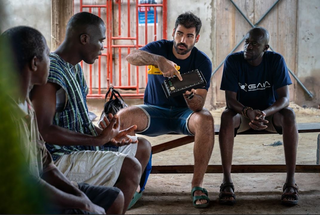
Fishing vessels operating in coastal waters offer a tremendous opportunity to completely shift the current paradigm around ocean observing.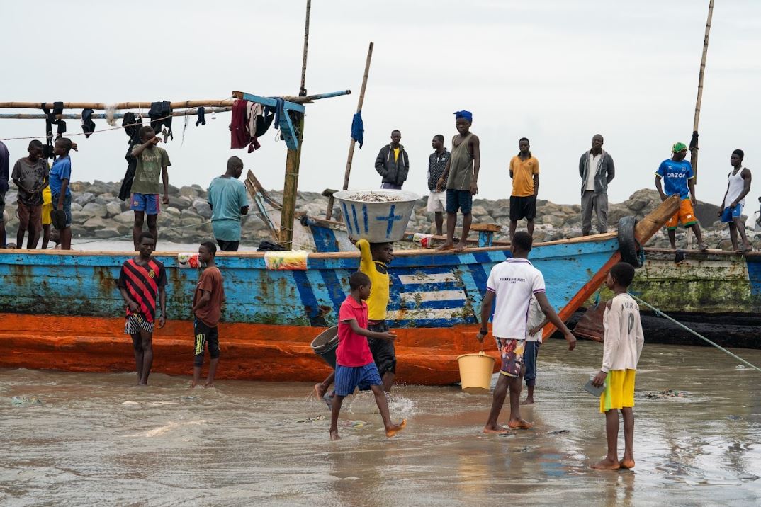 The biggest subsurface ocean data gaps exist in depths shallower than 1,000 meters and these are also the areas where most human activities—and demand for data to fuel these activities—exist. Partnering with fishers to collect ocean data using low-cost sensors could drastically reduce the costs of collecting ocean data, spreading ocean observing capabilities to more areas of the ocean.
Over 2 million suitable vessels operate in coastal seas, sending their fishing gear, such as nets and traps, down to fishing depth and back up again, providing a ready-made opportunity to profile the water column. The sheer amount of data that could be collected in partnership with fishers could illuminate coastal seas, supercharging efforts to understand and manage marine ecosystems and boost the blue economy. Importantly, fishers and fishing communities, the oldest part of the blue economy, represent a key part of the solution.
Indeed, pioneering projects around the world in the United States, Italy, Portugal, Ghana, Australia, New Zealand and Japan are already engaging fishers in ocean observing using sensors affixed to fishing gear. But taken alone, these inspiring local collaborations cannot deliver benefits at the scale and pace needed to address the regional and global impacts of climate change.
A Global Solution
That’s where the Fishing Vessel Ocean Observing Network (FVON) comes in. FVON started in 2022 as the single global organizing force for efforts to collect ocean data using fishing vessels and their gear and has been officially designated as an action of the UN Decade of Ocean Science. FVON currently comprises 12 committed practitioners, scientists and academics from pioneering projects, Environmental Defense Fund, and Ocean Data Network with a goal of ushering in this new ocean observing paradigm.
FVON’s mission, described in a recent Frontiers in Marine Science article, is to advance fishing vessel-based ocean observation on a global scale by maximizing data value, establishing best practices around data collection and management, and facilitating the uptake of vessel-based observations. FVON is also supporting the development of two new fishing vessel observing networks in Ghana and The Bahamas, and we aim to help establish many more new networks, especially in areas where this data can help avoid tragedies like the devastation in Acapulco.
While there is still a long way to go, we are committed to the vision that collaborative efforts by fishers, scientists, and governments can unlock the immense potential that fishing vessels have to fill key data gaps and usher in a new era of ocean observation. This can better support coastal communities’ safety, livelihoods, and well-being, along with better systems that can provide this data in near real-time to climate modelers and ocean forecasters.
These organizations have been key in addressing this climate and humanitarian crisis after Hurricane Otis and are receiving donations: