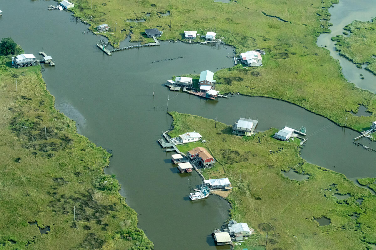
Delta flyover – Mid-Barataria Sediment Diversion wetlands restoration project in the MS River Delta region of Louisiana
What is federal flood planning and how can it help your community?
Before we get into the ins and outs of the step-by-step guide, let’s bring it back to the beginning. What is a federal flood feasibility study anyways?
In simple terms, a federal flood study emerges when a local community or entity, later known as the study’s non-federal sponsor, raises flooding concerns to the Corps and expresses the need for a feasibility study that can identify solutions to this problem. The proposal must be authorized by Congress and receive funding through appropriations, and if that happens, the Corps will move forward with conducting a feasibility study that may eventually lead to the construction of a project(s). Potential projects could include anything from developing floodplain management plans to installing grey and green infrastructure to forming disaster response strategies.
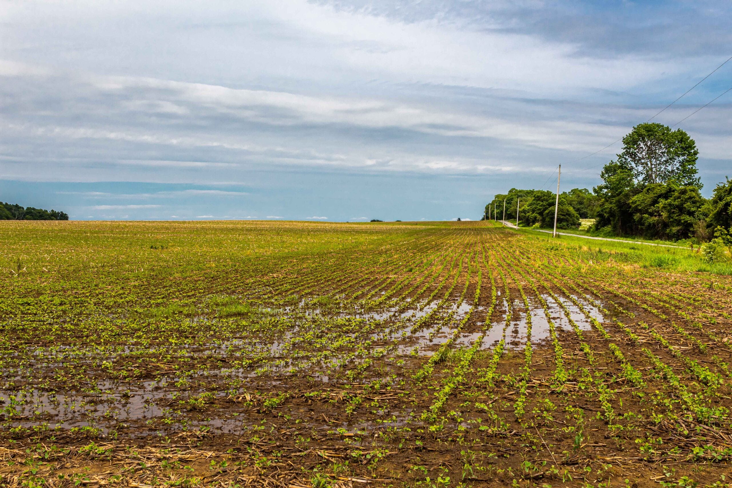
Why should you seek a federal flood study? No matter the size, budget or location, the Corps provides an opportunity to address flood risks in a community. Federal flood studies and their projects are designed to help leaders and communities prepare for extreme weather and disasters, which are increasing in frequency and severity. Experts agree it is financially smart to prepare before disaster strikes, with research showing that every dollar spent on mitigation can save $13 in damages. It also provides a safety net for residents to better protect their homes, businesses and families.
Using our step-by-step guide to navigate federal flood planning
EDF’s new step-by-step guide is a much-requested resource that gives advocates an overview of the complex federal flood planning process led by the Corps. This guide walks you through each step of the planning phase, allowing users to better understand and anticipate how a study and project develops.
We also share ways advocates can engage during the planning process to ensure the study’s outcome best represents their community’s priorities and goals. The guide incorporates helpful resources, like a glossary, FAQ guide and templates along the way.
Looking at case studies
EDF is proud to have worked alongside several local communities on a variety of federal flood studies and projects, represented in the following case studies:
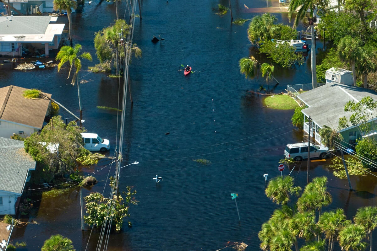
Collier County, Florida
In Collier County, Florida, EDF and local partners engaged in the planning process to propose the prioritization of nature-based solutions as well as hybridized, multi-hazard flooding and community engagement. We presented alternative study renderings with these priorities in mind, gaining media attention and eventually leading to changes in the proposed study.
New York-New Jersey Harbour and Tributaries
In the New York metropolitan area, EDF worked with a coalition of local partners to advocate for changes, like incorporating multi-hazard flooding solutions, to the Corps’ $52 billion plan to address flooding in the New York-New Jersey Harbor. The coalition launched a campaign website, gained media attention and ran advertisements, which led the non-federal sponsor to make a request for the Corps to take specific actions that better align with stakeholder priorities.
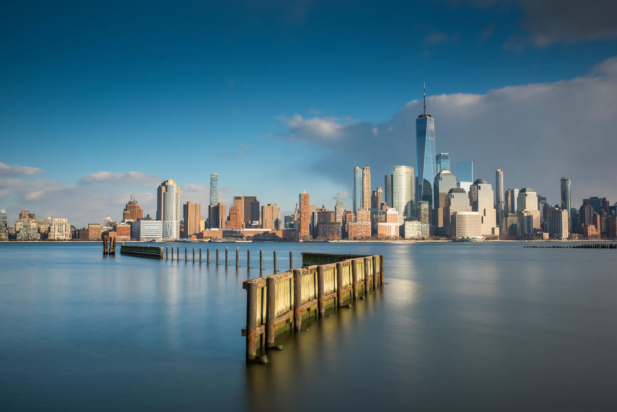
New York City, New York State, Hudson River, USA, Water
Mid-Barataria Sediment Diversion, Louisiana
EDF and partners at the Mississippi River Delta Coalition have guided the Mid-Barataria Sediment Diversion project and played a key role in advocating for a $2.9 billion initiative to reconnect the Mississippi River to the Barataria Basin. Learn more about the benefits of this project.
Explore our step-by-step guide now