


by Ritesh Gautam and James Williams
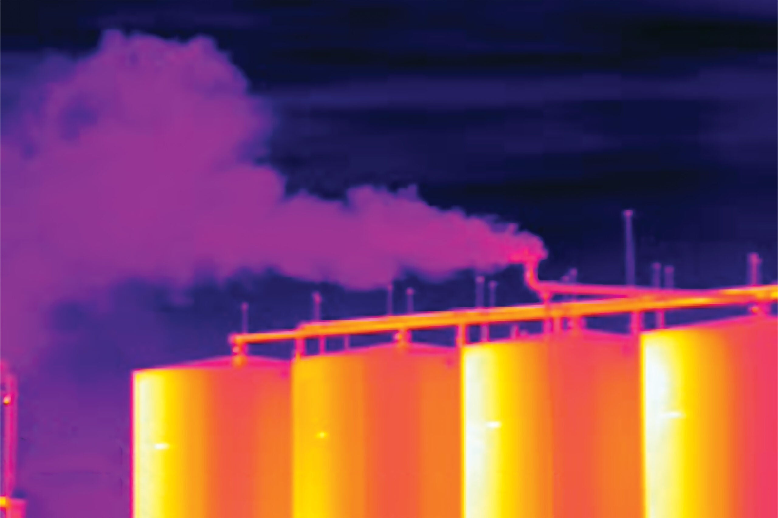
Efforts to locate, measure and reduce the planet-warming methane emissions from global oil and gas operations often focus on large, concentrated sources. But a growing body of research suggests that by not tracking smaller, dispersed sources, regulators, operators and scientists are missing a significant share of the emissions problem.
Now, a new study led by EDF scientists and published in the journal Atmospheric Chemistry and Physics finds that of the roughly 15 million metric tons of methane coming from onshore oil and gas activities in the continental US annually, 70% comes from smaller, dispersed sources emitting less than 100 kilograms of methane per hour, and fully 30% of emissions are from sites releasing less than 10 kilograms per hour.
At those rates, millions of tons of methane simply won’t show up under measurement methods not detecting those smaller sources of emissions. While tackling large, concentrated emission sources is important, focusing on them alone won’t help solve the industry’s methane problem unless we also account for the vast number of sites emitting at lower rates.
STUDY: smaller, dispersed sources account for majority of U.S oil & gas methane emissions Share on XOur new study also finds that of the various activities, production well sites are responsible for 70% of the total regional oil and gas methane emissions. Among those well sites, 67-90% of emissions originate from lower-producing sites responsible for just 10% of total oil and gas production (based on 2021 data, the latest available).
The good news is, new instruments are coming online that can help. For example, MethaneSAT, developed by an EDF subsidiary with support from the Bezos Earth Fund and other donors and launched in March 2024, is specifically designed to quantify total regional emissions. It can detect large point sources as well as characterize the dominant smaller sources dispersed across large areas, mapping the full scope of emissions.
Looking wider
Numerous studies have focused on high-emitting sites (super-emitters), deeming them responsible for a large fraction of total methane emissions. However, facilities emitting at lower rates and their contributions to total emissions are not well understood, especially when assessing national- and regional-level emission totals.
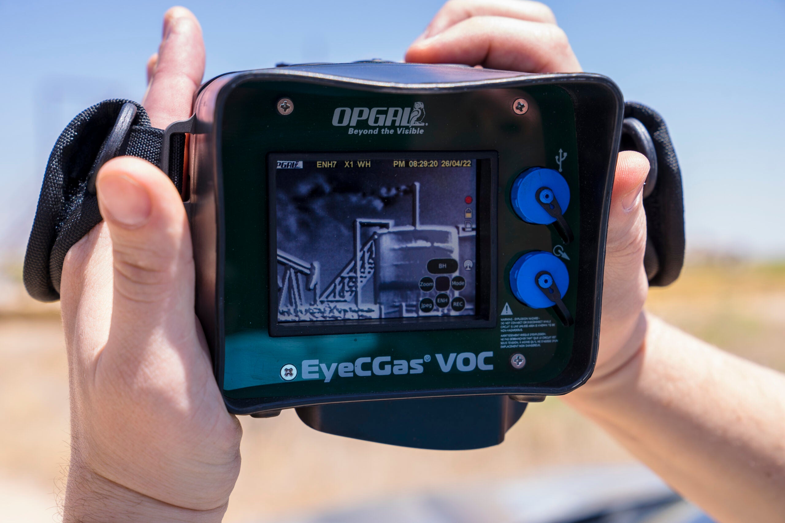
Ground-based methods can detect emissions at 1 kg per hour or even less, but they lack the geographical reach of satellites or aircraft.
To get a better sense of how smaller, dispersed sources contribute to overall emissions, we look at over 1,900 facility-level emission rates gathered using sensitive ground-based site- and component-level measurements from 16 previous studies. We combine these empirical measurements with detailed infrastructure data to estimate emission rates for each individual oil and gas facility in the US, which are then used to determine emissions at the basin- and national-level.
The 673,940 total facilities in the measurement-based analytics we developed for our new study include 541,970 low-producing well sites; 121,824 non-low-production well sites; 4,431 gathering & boosting compressor stations; 2,093 transmission & storage compressor stations; 919 processing plants; and 3,153 total flare detections derived from the VIIRS satellite database.
The overwhelming majority of these facilities were found to emit methane at rates less than 100 kg per hour, but in aggregate they contribute 70% of total methane emissions. For effective methane management and mitigation, these sources need to be accounted for.
(You can read more about the policy implications of these findings here).
Different regions, different pictures
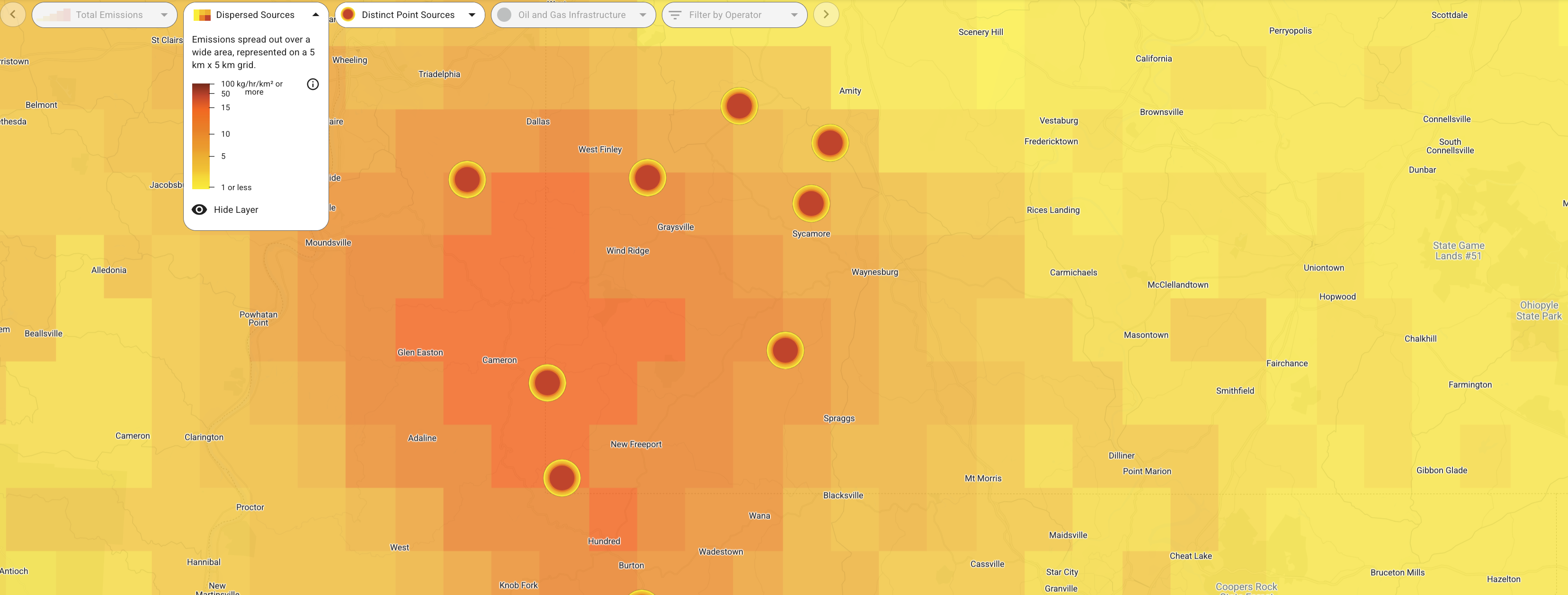
Most of the nine biggest methane-emitting US oil and gas basins show an even higher percentage contribution from lower emitting facilities (again, those under 100 kg per hour) compared to the national estimate of 70%.
Figures range from roughly 80% in the Permian, Appalachian and Eagle Ford basins, up to near 90% in the oil-dominant San Joaquin basin. The Anadarko and Bakken basins fall below the national estimate, but lower emitting facilities still account for about 60% of total oil and gas methane.
The total estimated emissions across all lower-48 US basins amount to a loss rate of 2.4% across oil and gas producing regions (normalized to gross gas production), more than double the EPA Greenhouse Gas Inventory Report for natural gas and petroleum systems in 2021.
Our estimates are largely in line with the results from six out of seven prior studies that predominantly used satellite-derived data from the satellites GOSAT and TROPOMI to perform inversions that determined national estimates of methane emissions from US oil and gas production, with a combined average of 13 million metric tons per year.
At regional scales, our results are in broad agreement with data obtained from a suite of independent aerial remote sensing campaigns across major US oil and gas basins, which included MethaneAIR and other aerial platforms.
Important Implications
The new study looks only at the US, but additional research suggests similar patterns in some other oil and gas producing regions internationally. Understanding the total emissions from oil and gas basins, how the emissions are distributed at the site level, and the contributions of larger vs. smaller sources have direct policy implications for methane quantification and mitigation, such as the selection of measurement/screening methods and the required detection sensitivities.
Aerial or satellite platforms focused on high-emitting point-source detection can rapidly locate the relatively small number of larger concentrated sources, offering valuable data on specific facility locations that may allow for rapid mitigation. But additional observational approaches are critically needed to build a more complete picture of the overall emissions — one that our study suggests is dominated by smaller-emitting sources that are not effectively detected by high-emitting point source detection focused satellite and aerial systems.
If the emissions are going to be dramatically reduced in line with industry commitments and official policies, it is essential that monitoring strategies factor in the large contribution of small methane sources to total emissions using the new and improved technologies increasingly available to both companies and countries today to see the full picture in order to effectively quantify total emissions and track changes in overall emissions in time.