Iowa’s Watershed Approach provides a model for tackling big challenges on the Mississippi River.
The Mississippi River Basin is massive – it covers 40% of the contiguous U.S. and approximately two thirds of that area is farmland. Flooding and water quality are persistent issues across the basin, and experts predict they will only worsen with climate change and increasing intensity of agricultural production.
Iowa, a state in the basin, recently celebrated five years of its Iowa Watershed Approach (IWA) – a visionary program that has successfully demonstrated a collaborative strategy to reduce flood risk and improve water quality. With a $97 million dollar award from the U.S. Department of Housing and Urban Development, local and state leaders have installed more than 800 natural infrastructure projects across the state in the past few years. These projects are the result of collaboration among city officials, upstream farmers and state agencies.
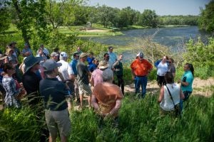
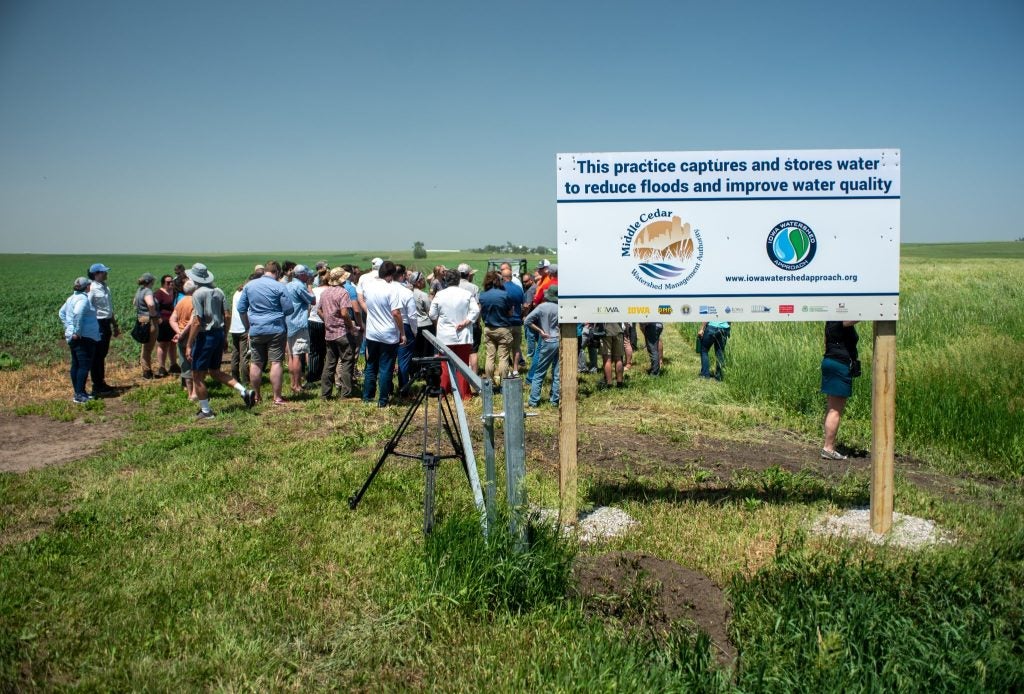
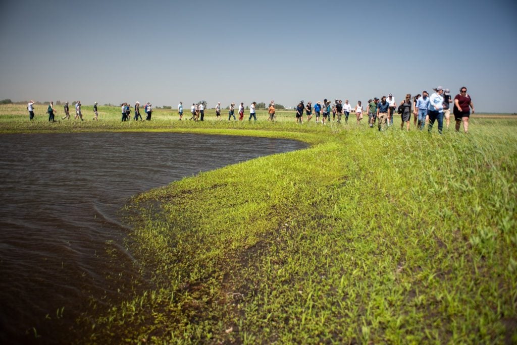
I had the opportunity to travel to Iowa to join a bus tour of watershed projects that reduce flooding and improve water quality. Three elements have made the IWA a success and can help scale this approach to other watersheds across the basin: natural infrastructure, watershed approaches and shared science.
Natural infrastructure can address flooding and water quality.
Natural infrastructure is a durable structural and/or native perennial vegetative measure embedded in a landscape or riverscape that is inspired and supported by nature, restores ecological processes and delivers multiple environmental benefits to downstream communities. On the tour, we saw several examples of natural infrastructure in action. We visited an engineered wetland on a farm field that created new value from unproductive acres and helped filter nutrients. We saw a series of constructed ponds near a public lake that slowed water flow and created recreational opportunities such as fishing. And finally, a stormwater retention basin that created much needed water storage capacity near suburban neighborhoods to alleviate flooding impacts.
EDF scientists have identified a suite of natural infrastructure measures that can deliver both water quality and flood mitigation benefits while minimizing the loss of productive agricultural land. These benefits will increase with a system of various natural infrastructure measures implemented across the basin – each targeted to locations where they will provide the greatest benefit.
Success requires connecting across watersheds.
Mississippi River flooding and water quality issues transcend traditional political boundaries, which makes collaborative management and decision-making difficult. Addressing these challenges requires collaborative, watershed-scale solutions. The IWA brought together a diverse set of stakeholders including cities, counties, soil and water conservation districts, and other stakeholders into watershed management authorities – each charged with creating a long-term vision for the watershed and associated action plan.
In Iowa, the watershed approach resulted in local decision-making and plans that reflect the needs of the broader community. This is a critical step to address upstream-downstream relationships and the often-disproportionate impacts on under-resourced communities, who lack access to technical and financial capacity and are in high-risk areas. Along the Mississippi River, these communities are often located in floodplains or downstream of pollution sources, causing greater impacts of environmental harm and social disruption. Through an inclusive watershed approach, the needs of under-resourced communities can be better prioritized alongside others in the watershed.
Supportive state and federal policies, knowledge sharing, and capacity building efforts can help replicate this approach across the basin by connecting watersheds to each other and to relevant research and policy institutions more broadly.
Shared science provides a foundation for solving issues.
At the scale of the Mississippi River Basin, new science, including modeling of water flows and quality, is required to answer big questions: Where can natural infrastructure and other flood mitigation projects have the greatest impact? What types of natural infrastructure are most appropriate? And how much natural infrastructure is needed to meet environmental outcomes and risk reduction goals?
The Iowa Flood Center developed a statewide hydrologic model to inform community risks, project development and resource allocations. The Flood Center also provides science-based information and technology that is critical to help communities better understand their flood risks and make watershed-scale decisions as part of the IWA.
To scale across the Mississippi River basin, a collaborative, inclusive scientific effort is necessary. This could include new efforts to set metrics and targets, new mapping and modeling, and increased support for science-based information on risks and solutions now and in the future.
From Iowa, a model for meaningful basin-wide change.
The scale of challenges along the Mississippi River can feel daunting. However, from my recent tour, I learned that meaningful change is possible, if we can identify and deploy the right strategies to meet these challenges. Natural infrastructure provides important upstream and downstream benefits, watershed approaches increase community capacity and encourage engagement, and shared science creates a common understanding of the challenges and solutions. It will not be an easy task, but the Iowa Watershed Approach provides a hopeful example for how we achieve basin-wide change.


