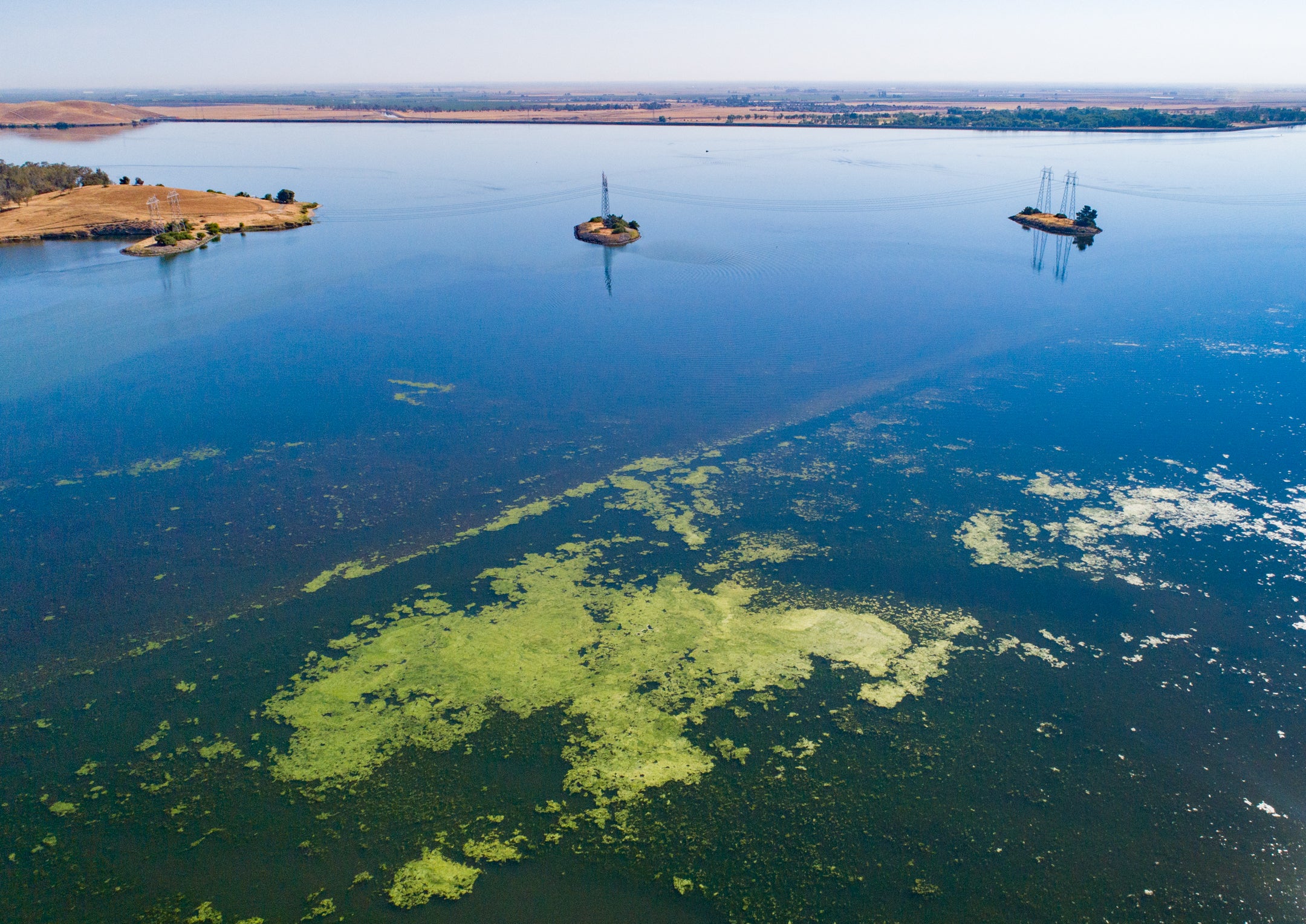
California’s sprawling Central Valley is confronting declining groundwater levels and increasing ‘climate whiplash’ between drought and flood.
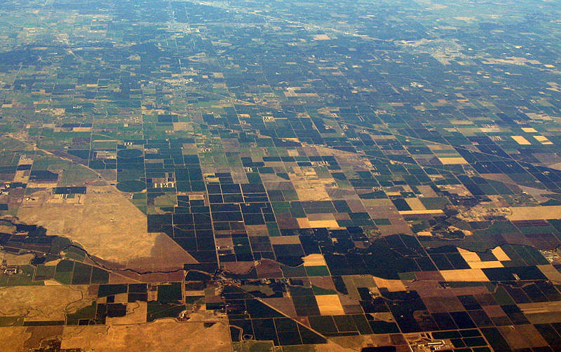
Next time you find yourself looking up driving directions on your phone, scroll over to central California and zoom out a bit. Turn on the satellite layer. What you’ll see is a mindboggling patchwork. A massive brown and green checkerboard, cut up in rectangles, sliced by highways, besieged by a ring of arid foothills. This is California’s famed and troubled Central Valley — an agricultural powerhouse that’s increasingly associated with headlines about disappearing groundwater and growing waves of flood and drought. Filled with sharp lines, it’s not a landscape one would immediately associate with collaboration and transformation. Read More


