Revisiting the first OpenET Applications Conference: how satellite-based data is transforming water, farm, and forest management
Posted: in Agriculture, Colorado River
Written By
Share
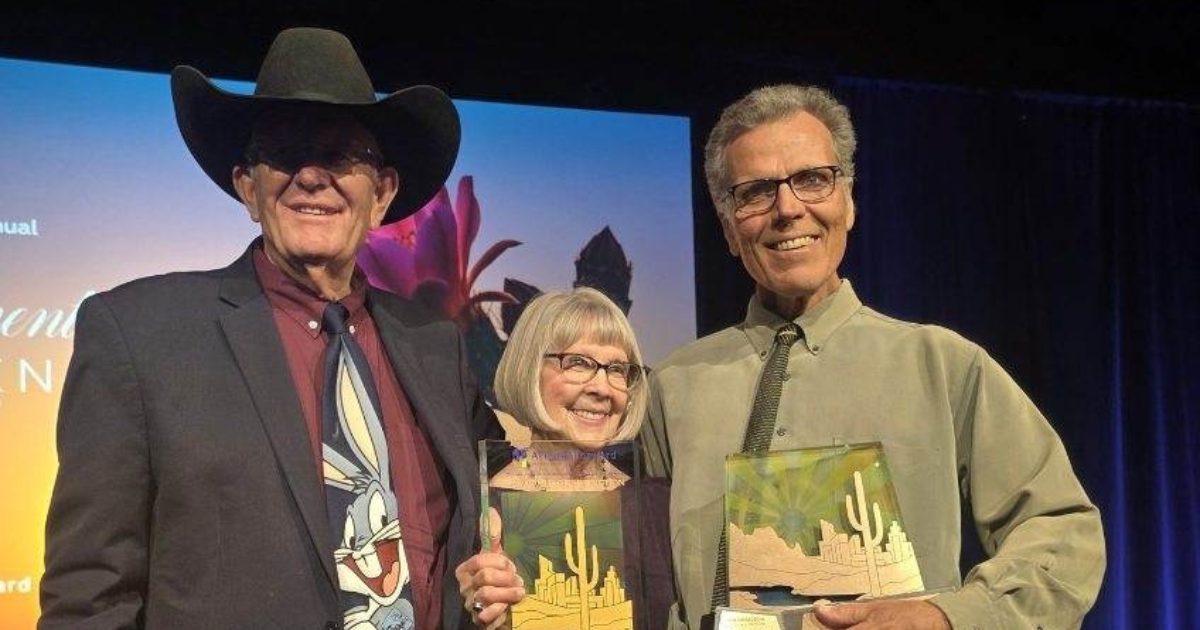
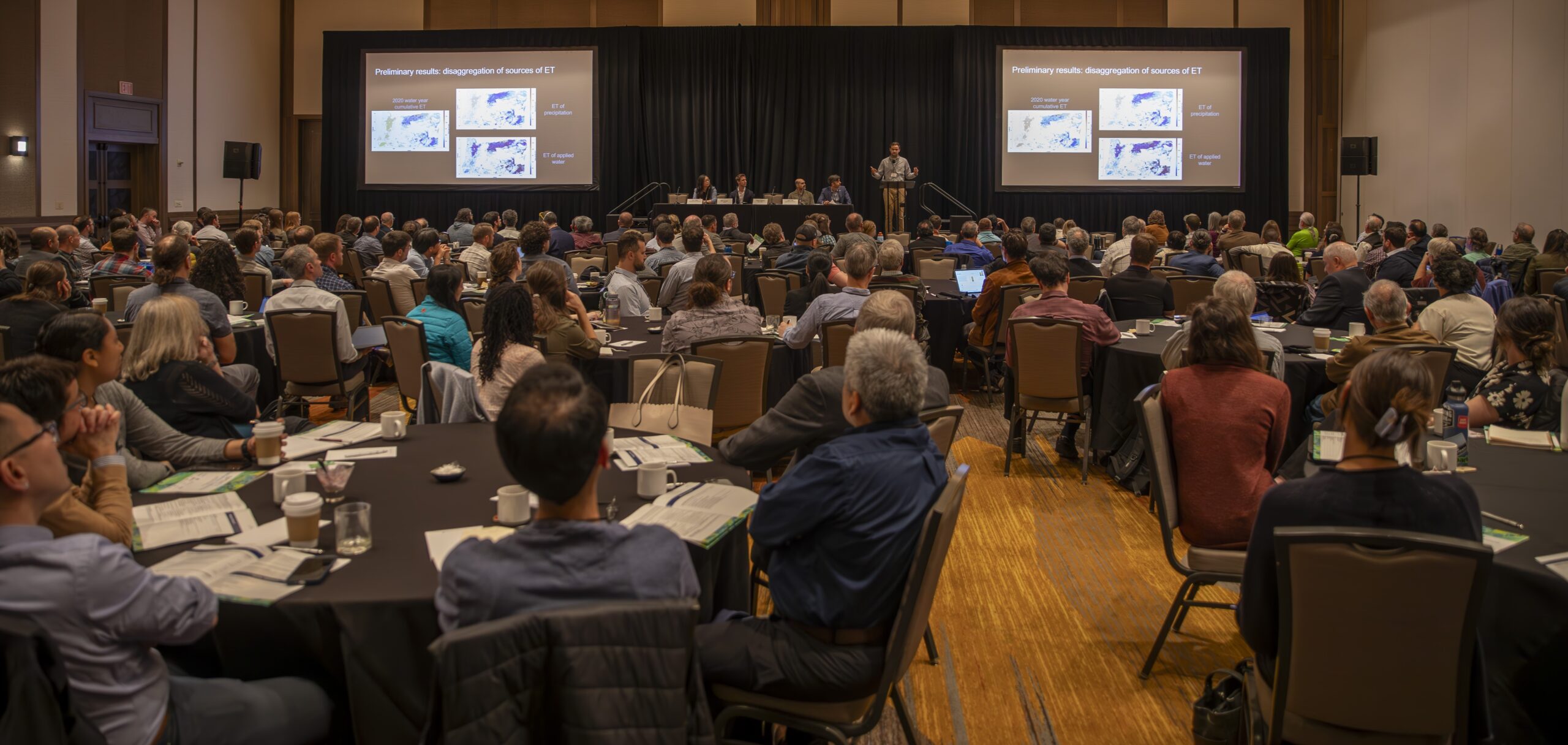
This spring, hundreds of scientists, engineers, water managers, farmers and ranchers gathered in New Mexico to share and learn about how OpenET data is being used to advance water resources management. OpenET has radically improved access to data on evapotranspiration (ET) — or how much water plants and other vegetation consume. The result has been a flood of new applications of ET data in land and water management.
This year’s convening in New Mexico was a first-ever chance to take stock of all the ways people are using OpenET. The conference cut across a wide range of geographies and sectors and revealed a quickly emerging, dynamic community of practice centered on the platform.
In keeping with the spirit of OpenET, all plenary sessions and speaker presentations are available on the OpenET YouTube channel. The conference agenda includes the full list of presentations and speakers.
Here are some key takeaways from the conference:
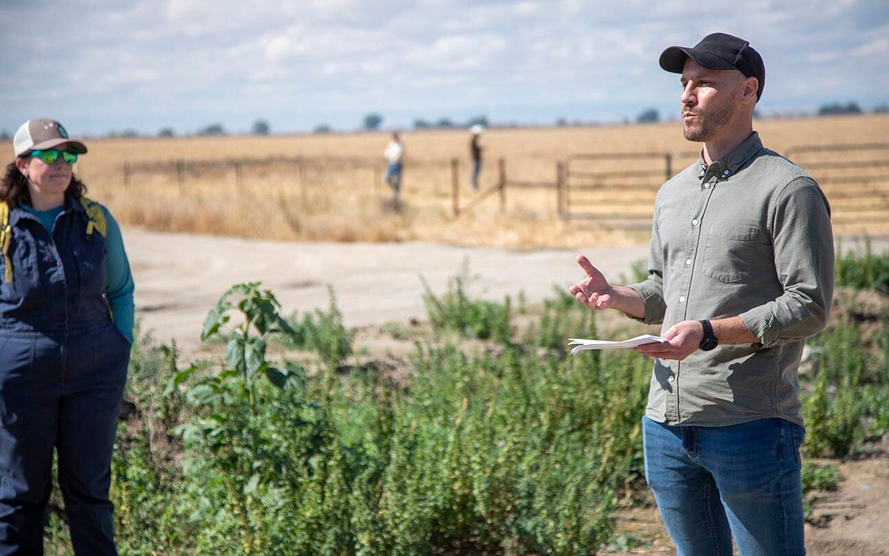
Integrating OpenET with other data can support farmers with data-driven decision-making.
The OpenET API enables the automated integration of data from OpenET into decision-support tools. ET data is most effective when combined with other data, such water supply and fertilizer. Combining these datasets makes for a powerful tool that can support farmers with managing water budgets, precision nutrient management, and meeting regulatory requirements.
Michael Cahn, with University of California Cooperative Extension spoke about CropManage, a tool that provides site specific recommendations for irrigation and nitrogen management based on soil type, climate, crop type, and crop development stage.
Ray Lee, Environmental Science Associates, shared how the Groundwater Accounting Platform, which can utilize OpenET data to measure consumptive use, is supporting farmers with tracking their water budgets and groundwater sustainability agencies with water measurement and reporting requirements.
Data from OpenET can help quantify the water benefits of conservation efforts.
Increasing water scarcity has recently led to innovative water conservation efforts across the west. OpenET provides an opportunity for those who are managing the programs and those who are participating to be able to access the same data. With conservation efforts ramping up, it is increasingly important to understand the irrigation efficiency paradox to ensure that conservation does not end up increasing consumptive use.
The irrigation efficiency paradox occurs when improvements in agricultural water use efficiency end up increasing total consumptive water use. Lauren Steeley, Metropolitan Water District, described how this occurred in some fields where changes in irrigation practices to reduce the amount of applied water ended up increasing the total volume of ET. OpenET can be used to measure and track the outcomes of conservation efforts to ensure they achieve goals related to water use reductions.
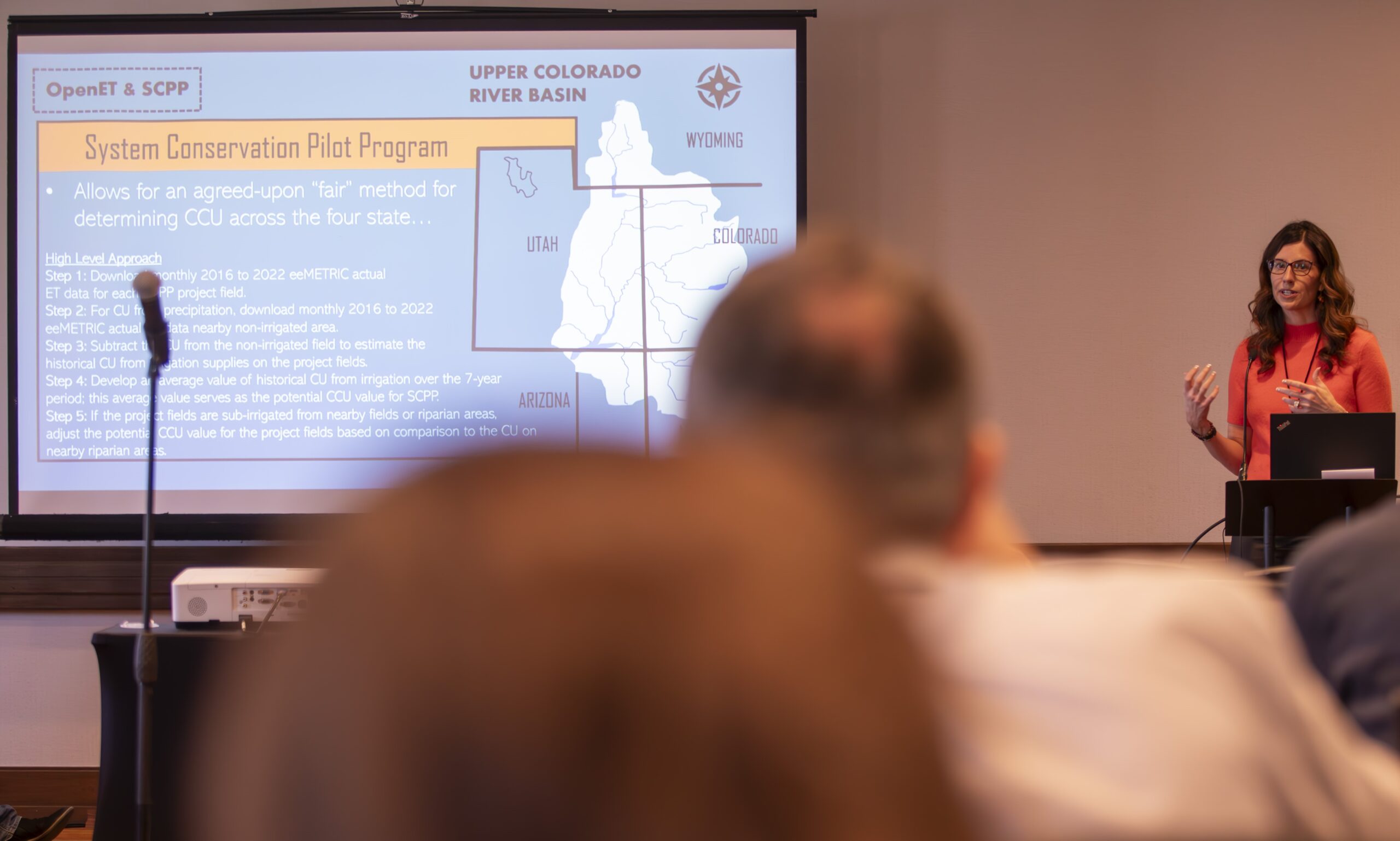
The Upper Colorado River Commission (UCRC) administers the System Conservation Pilot Program, a voluntary program across Wyoming, Colorado, Utah, and New Mexico where farmers are compensated to reduce their consumptive use through fallowing, crop switching, and other on-farm practices. Sara Larsen with UCRC shared how they are utilizing the eeMETRIC model within OpenET to determine conserved consumptive use for the fields enrolled in the program. One unexpected benefit of the program is that farmers are better able to understand their consumptive use history by accessing OpenET.
OpenET data is not just for agriculture, it can be used for forest management too.
OpenET has applications beyond agriculture. ET data can be used to better understand hydrologic function of a watershed, evaluate forest health, and map wildfire risk. Additional research and science are needed in this space to improve the accuracy of the data in forested landscapes and better understand the potential of these applications.
Forests play a crucial role in watershed health, water supply and carbon sequestration. Ge Sun, US Forest Service, spoke of how ET data can be used to evaluate the impact of different forest management practices on water resources. Reliable, accessible, and accurate ET data can help policymakers and forest managers make more informed decisions that balance the needs for water supply reliability, flood prevention, carbon sequestration, and ecosystem health.
AJ Purdy, California State University Monterey Bay, explained how OpenET data, combined with machine learning models, can offer detailed insights into live fuel moisture content, which is crucial for assessing fire risk. As wildfire frequency and intensity increases, it’s critical that local fire agencies have accessible, data-driven tools that they trust.
To learn more about the incredible work being done across geographies, sectors, and applications to advance water management check out all the presentations from the OpenET Applications Conference.