






Strategic fire fighting for maximum impact
Posted: in Wildfire
Written By

Share
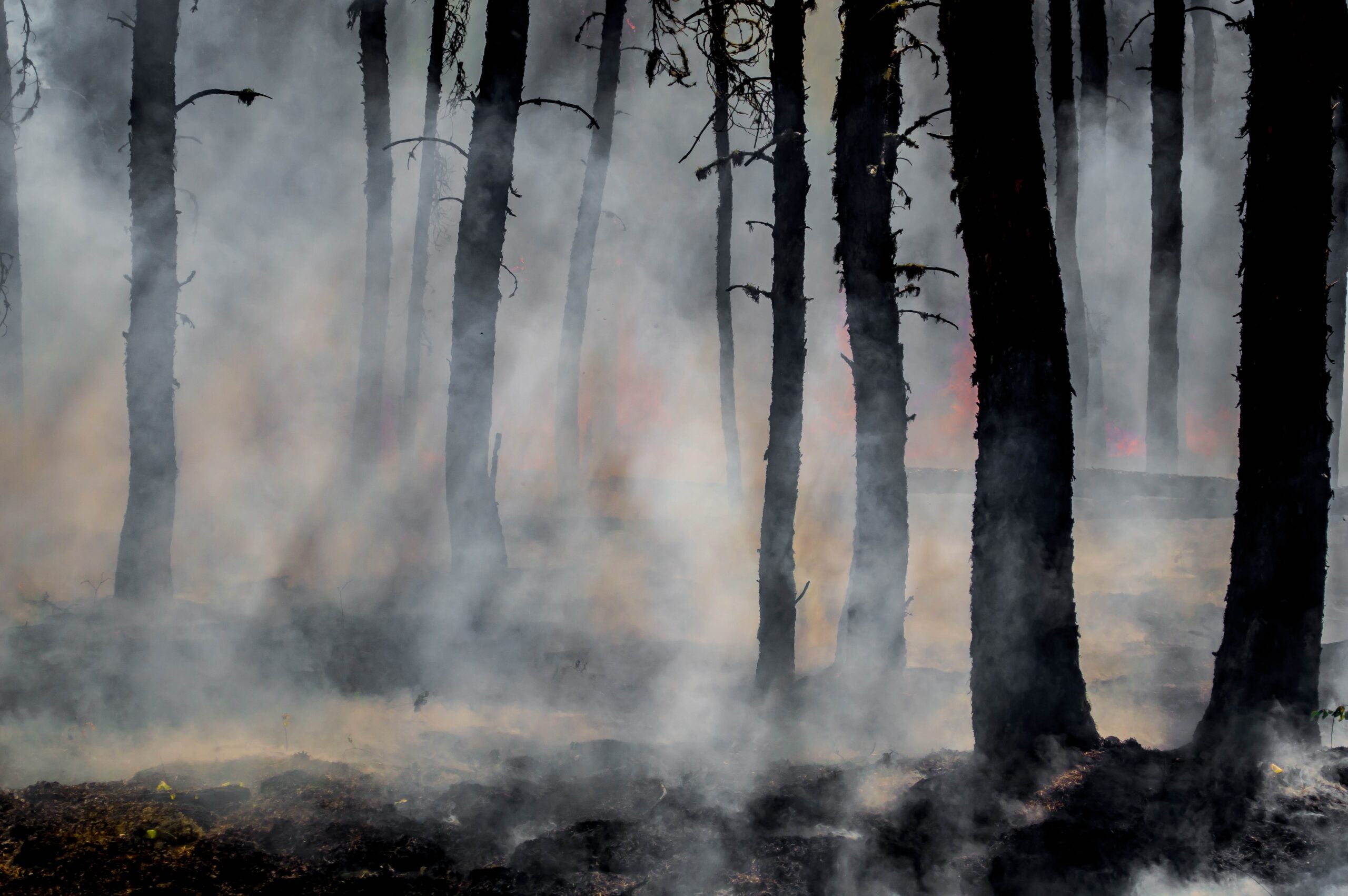
Wildfires are becoming more frequent, severe and difficult to manage in many parts of the world. They can contribute emissions, on a yearly basis, equivalent to a large country. This has consequences for the climate, our health, ecosystems and the local economies that depend on the land. But the challenge is not insurmountable — we do not have to manage every fire. Just 5% of global fires drive 65% of the emissions.
FireSat, a new satellite system owned by the nonprofit Earth Fire Alliance, built by Muon Space, and developed with support from partners including Environmental Defense Fund and Google Research, will provide scientists and fire managers with more actionable information about fires that existing satellites often miss. EDF recently led the development of the climate-science research strategy designed to accelerate the impact of the constellation on the climate, environmental integrity, and human lives. The resulting strategy is now available here.
Constellation of fire-detecting satellites
While fires are a natural part of many ecosystems, increasing extreme wildfire emissions due to climate change are harmful for the climate, our health, ecosystems and water. It’s neither possible nor wise to fight all of them. FireSat will provide unique information on fire ignitions and behavior. We need to couple this emerging, and powerful, technology with data that can determine which fires will have the greatest impacts, so managers can take meaningful actions on key fires and landscapes – while letting the good fires burn.
FireSat is not just one satellite. At full deployment, the program will include about 50 satellites observing every location on Earth every 20 minutes or less. The system’s unique value is its ability to identify fires as small as 5 meters by 5 meters — about the footprint of two parking spaces. That’s far smaller than the existing crop of fire-observation satellites. It will also be able to see much cooler and lower-intensity fires than those currently in use.
Enhanced measuring capabilities
Global fires release about 10 billion metric tons of carbon dioxide each year. Much of that is reabsorbed by recovering vegetation – but now, climate change is making fire seasons longer and the burning more intense, digging deep into old carbon reserves and outpacing the recovery rates of vegetation. FireSat will help quantify these numbers by measuring how much energy a fire is releasing over time. It could also improve estimates by detecting fires that existing systems miss and tracking the energy they release.
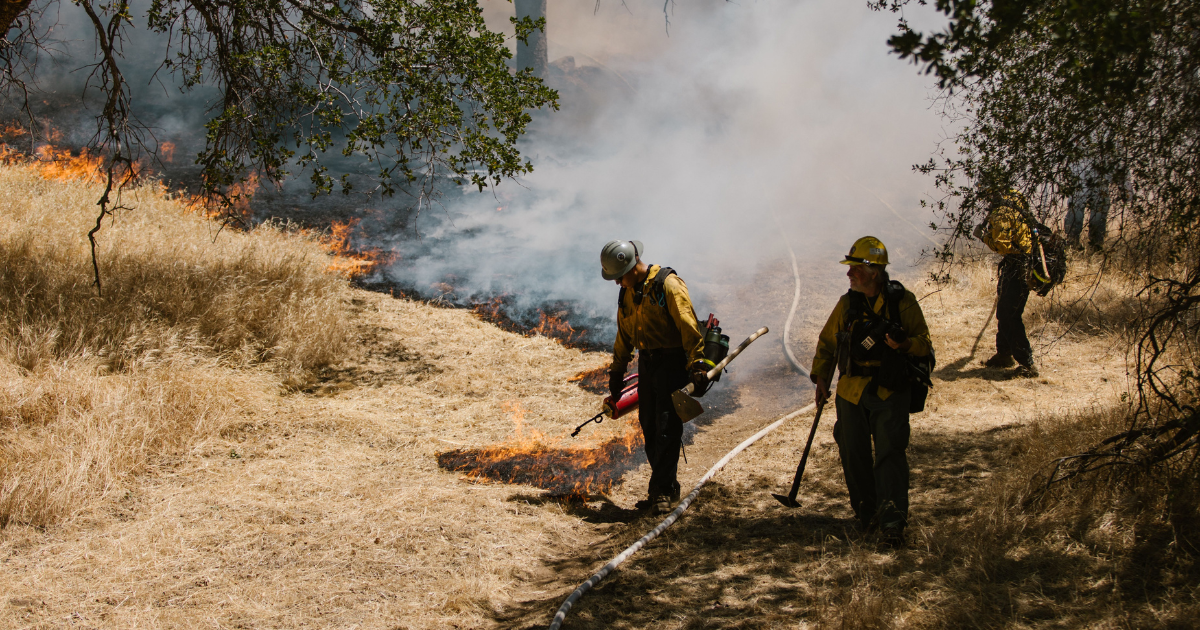
Better measurements could improve national emissions inventories, climate models, and carbon market assessments. That, in turn, would allow us to shore up existing markets and systems designed to protect carbon-rich forests and peatlands and set appropriate global emissions reductions ambitions. Those measurement capabilities could also help FireSat evaluate which areas would benefit from prescribed burns, which clear hazardous vegetation and lower the risk of more destructive fires.
Forecasting smoke for health and safety
The FireSat constellation will also help provide more accurate information about a fire’s location, intensity and growth. That should help improve computer models that predict the movement of fine-particle pollution, or PM2.5, which is so harmful to the lungs.
That kind of information can be helpful for public health officials as they make decisions around key advisories like smoke warnings, evacuations and school closures. It could also help researchers evaluate a difficult trade-off between prescribed, controlled burns, which create short-term smoke and larger wildfires that create greater pollution and potentially more uncontrolled destruction.
Assessing ecological damage
Ecosystems need fire – but they need ecologically appropriate fire. FireSat could help distinguish between fires that are beneficial for the environment versus those that (due to climate change increases in intensity, poor management, or other reasons) would be destabilizing by showing variations in intensity, duration, spread and patchiness within a burned area.
When combining FireSat data with information about vegetation, rainfall, soils, wildlife and watersheds, scientists and fire managers could develop better forecasts for tree loss, habitat fragmentation, invasive species, flooding, landslides and problems with water quality. It could also help determine whether prescribed burns, thinning, fire breaks or suppression efforts are producing the intended results.
Strategic science development alongside FireSat’s buildout will speed impact
The climate, community and ecosystem science strategy for FireSat grew out of three highly collaborative international workshops held by EDF in 2025. Roughly 100 participants from universities, governments, nonprofit organizations and businesses, and spanning all continents, identified the three main research areas of focus: climate, community health and safety and ecosystems. The participants emphasized that FireSat’s benefits will depend not simply on launching satellites, but on independently testing the resulting data, clearly explaining its limitations, and connecting it to tools that decisionmakers already use.
FireSat resulted from researchers and practitioners thinking ahead about the kind of real-world solutions needed to manage large-scale problems brought about by climate change. As we look to the future, we know we can’t wait for the next big problem to develop. We need to start planning, and building the solutions for it—today.
We can predict what’s coming well enough – fire weather is increasing alongside hotter temperatures, warmer oceans, and more intense weather. That is the reality that we are facing. We don’t have time to despair. With strong data, strategic science and new technologies we can target those fires and make a meaningful difference.