


Wyoming is known for its panoramic landscapes, jagged mountains, and herds of pronghorn and bison. This imagery is associated with parks like Yellowstone and the Grand Tetons. But not all of Wyoming’s landscapes are encapsulated in iconic national parks.
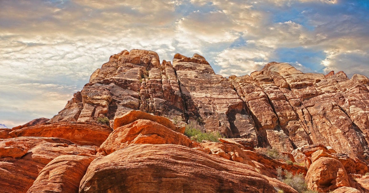 In southern Wyoming, the continental divide splits to form an enormous arid basin marked by vast sand dunes and grey, alkali lakes. The largest unfenced area in the lower 48, this region is known by Wyomingites as the Red Desert.
The Red Desert stretches across 4 million acres in south central Wyoming. It is home to the largest herd of pronghorn in the continental U.S., the largest desert elk herd, and the longest migrating mule deer herd in North America. Nearly three quarters of the area is covered by sagebrush grassland, and sage-grouse leks are present in much of the region. In the Red Desert’s northeastern corner, a series of alkali lakes known as the Chain Lakes provide critical wetland oasis for migrating shorebirds like ducks, trumpeter swans and white pelicans.
What differentiates the Red Desert from Wyoming’s other iconic landscapes is the rapidly increasing land use for energy development.